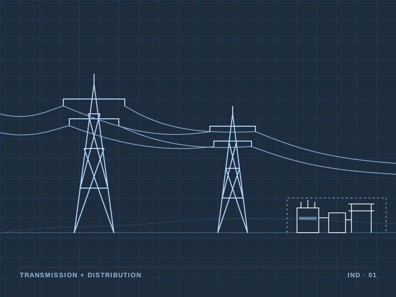
Electric Utilities
Engineering, asset intelligence, GIS, inspection and resilience support for electrical infrastructure.

Transform infrastructure and location data into a clear operational picture.
Infrastructure does not operate in isolation. Location, environment, asset condition, weather and operational history all influence risk and performance.
BYSPRK uses geospatial intelligence to bring these datasets together, helping organizations understand not only where assets are located, but what is happening around them.
Engineering, asset intelligence, GIS, inspection and resilience support for electrical infrastructure.
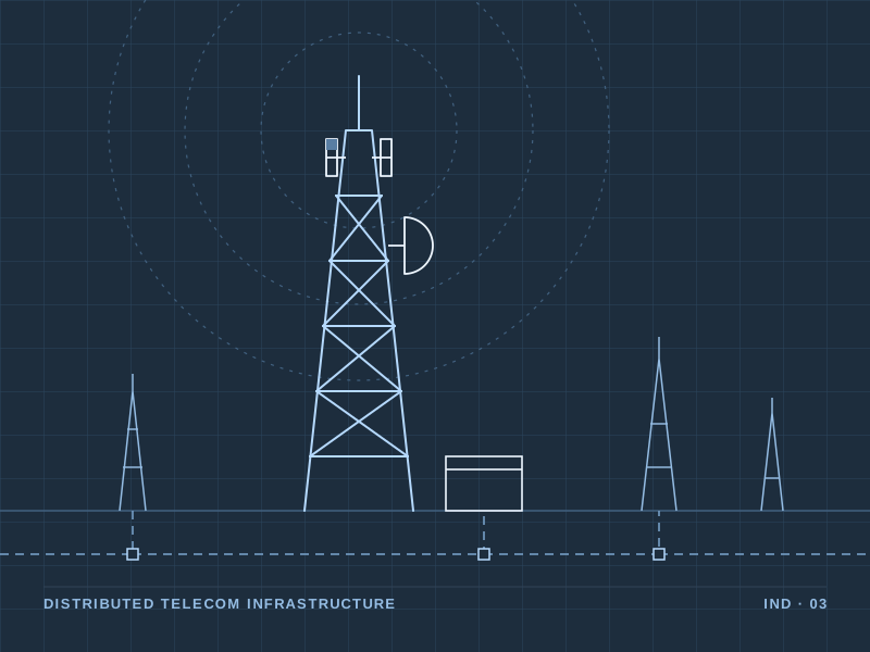
Geospatial and asset intelligence for distributed telecommunications infrastructure.
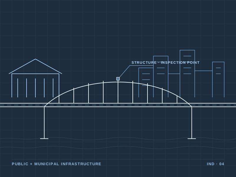
Mapping, infrastructure intelligence, resilience and decision support for public assets and emergency planning.
Tell us about the infrastructure, the problem and the data you have. We'd like to understand it.