
Skip to content
BYSPRK
Industry 04

Government & Public Infrastructure

Mapping, infrastructure intelligence, resilience and decision support for public assets and emergency planning.

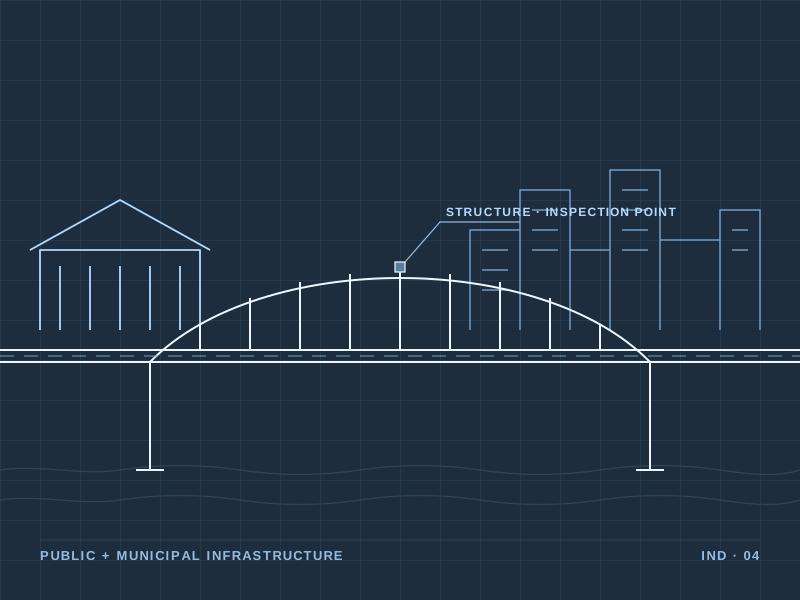
Arch bridge over water with a road deck, civic building and city skyline

Context

Public organizations are responsible for roads, bridges, facilities and community infrastructure, and for planning how that infrastructure responds to emergencies.

BYSPRK supports mapping, infrastructure intelligence and resilience planning to help public organizations prioritize investment and prepare for disruption.

Focus areas

  • Public asset mapping and inventories
  • Infrastructure risk and vulnerability
  • Emergency and recovery planning
  • Decision support for capital planning
Solutions

Relevant solutions.

Solution 02

Geospatial Intelligence

Transform infrastructure and location data into a clear operational picture.

  • GIS Mapping
  • Infrastructure Asset Inventories
  • Utility Network Mapping
  • Spatial Analysis
  • Remote Sensing
  • Satellite & Aerial Data
  • Infrastructure Data Integration
Explore Geospatial Intelligence
Solution 03

Asset & Inspection Intelligence

Improve visibility into distributed infrastructure and prioritize where attention is needed.

  • Infrastructure Inspections
  • Drone Data Integration
  • Asset Condition Assessment
  • Inspection Data Management
  • Risk-Based Asset Prioritization
  • Digital Asset Records
Explore Asset Intelligence
Solution 04

Resilience & Risk Intelligence

Help infrastructure operators understand environmental and operational risks before they become disruptions.

  • Storm & Hurricane Preparedness
  • Infrastructure Risk Mapping
  • Vegetation Risk Analysis
  • Vulnerability Assessment
  • Damage Assessment
  • Recovery Planning
Explore Resilience

Let's solve your next infrastructure challenge.

Tell us about the infrastructure, the problem and the data you have. We'd like to understand it.

Talk to Us